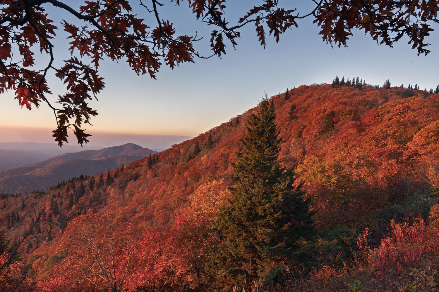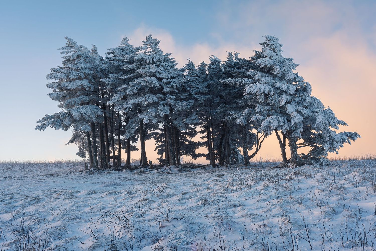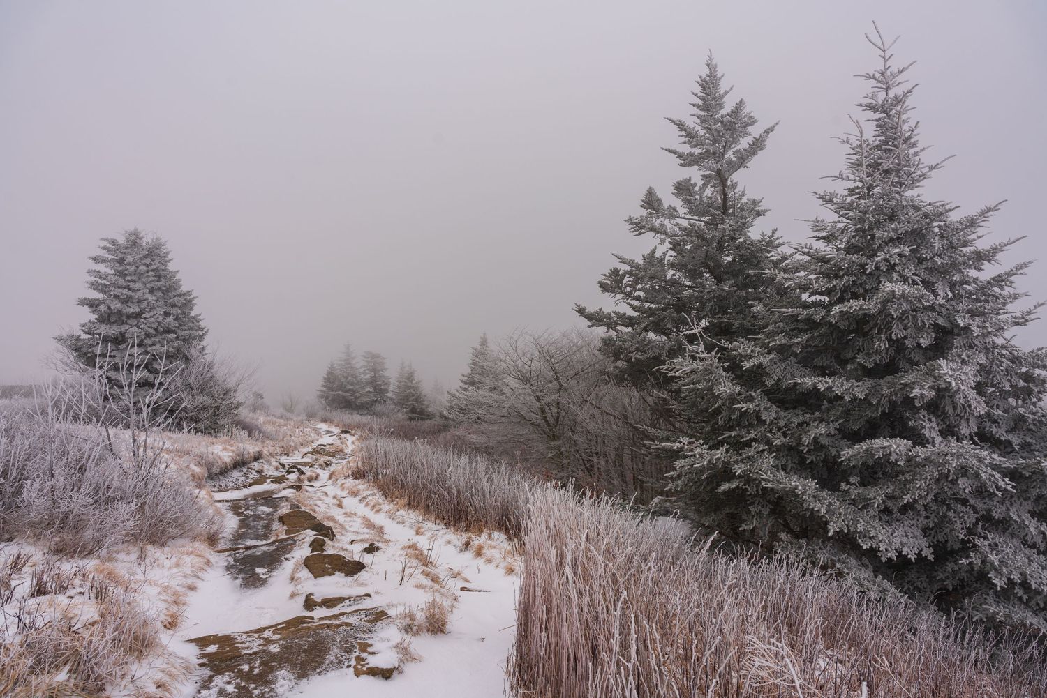
Asheville's reputation as a hiking paradise doesn't hibernate when temperatures drop. While the Blue Ridge Parkway closes for the season and limits access to some of the region's most popular trails, winter reveals a different kind of magic on the paths less traveled. The bare trees open up views that summer foliage conceals, waterfalls freeze into sculptural ice formations, and the trails that see crowds from spring through fall return to peaceful solitude.
What makes Asheville particularly special for winter hiking is its geographic position. Within 90 minutes, you can access exceptional trails in literally every direction—north into the mountains near Hot Springs, east toward the Linville Gorge, south into Pisgah National Forest, and west across the border into Tennessee. I've walked each of these trails during winter months, and they've rewarded me with some of my most memorable mountain experiences and some of my favorite photographs.
These eight hikes represent the best winter adventures the region offers: accessible when conditions are challenging elsewhere, manageable in wet or snowy weather, and stunning when frost and low-angle winter light transform familiar landscapes.
Bearwallow Mountain
Just 30 minutes from downtown Asheville, Bearwallow Mountain offers one of the most rewarding effort-to-view ratios in Western North Carolina. This 1.4-mile round trip gains only about 350 feet of elevation, making it accessible for almost anyone, yet the summit delivers panoramic views across the Hickory Nut Gorge and surrounding peaks. The grassy bald at the top opens up 360-degree vistas that extend from the Blue Ridge Escarpment to Mount Mitchell on clear days.
What makes Bearwallow exceptional for winter hiking is its combination of accessibility and payoff. The short distance and moderate grade mean you can complete this hike even on days when conditions might make longer trails challenging. The open summit, while potentially windy, allows unobstructed views that are especially dramatic in winter's clear air. The exposed meadow also means you'll know exactly what weather you're walking into—if the summit looks socked in from the parking area, you can adjust your plans accordingly. This trail is perfect for those shorter winter days when you want meaningful mountain time without committing to an all-day adventure.
Rich Mountain Fire Tower
Just outside of Hot Springs, the Rich Mountain Fire Tower trail delivers a massive payoff for moderate effort. This 4.2-mile out-and-back follows a section of the Appalachian Trail to a restored fire tower with 360-degree views across the French Broad River Valley and surrounding peaks. The elevation gain of about 1,800 feet is steady but never punishing, and the trail's southern exposure means it dries out relatively quickly after winter storms.
What I love about this hike in winter is the clarity. On a cold, crisp day, you can see for miles in every direction from the tower platform. The bare branches that might feel stark at ground level become architectural when you're looking down on the forest canopy from above. Plus, if you’re lucky, you might just see the branches at higher elevations covered in rime ice – an utterly gorgeous phenomenon.
This trail also connects you to the Appalachian Trail, that iconic 2,190-mile footpath that threads through this region and shapes so much of Western North Carolina's outdoor identity. Hiking even a small section of the AT in winter feels like joining a long tradition of mountain travelers.
Rock Creek Falls Trail
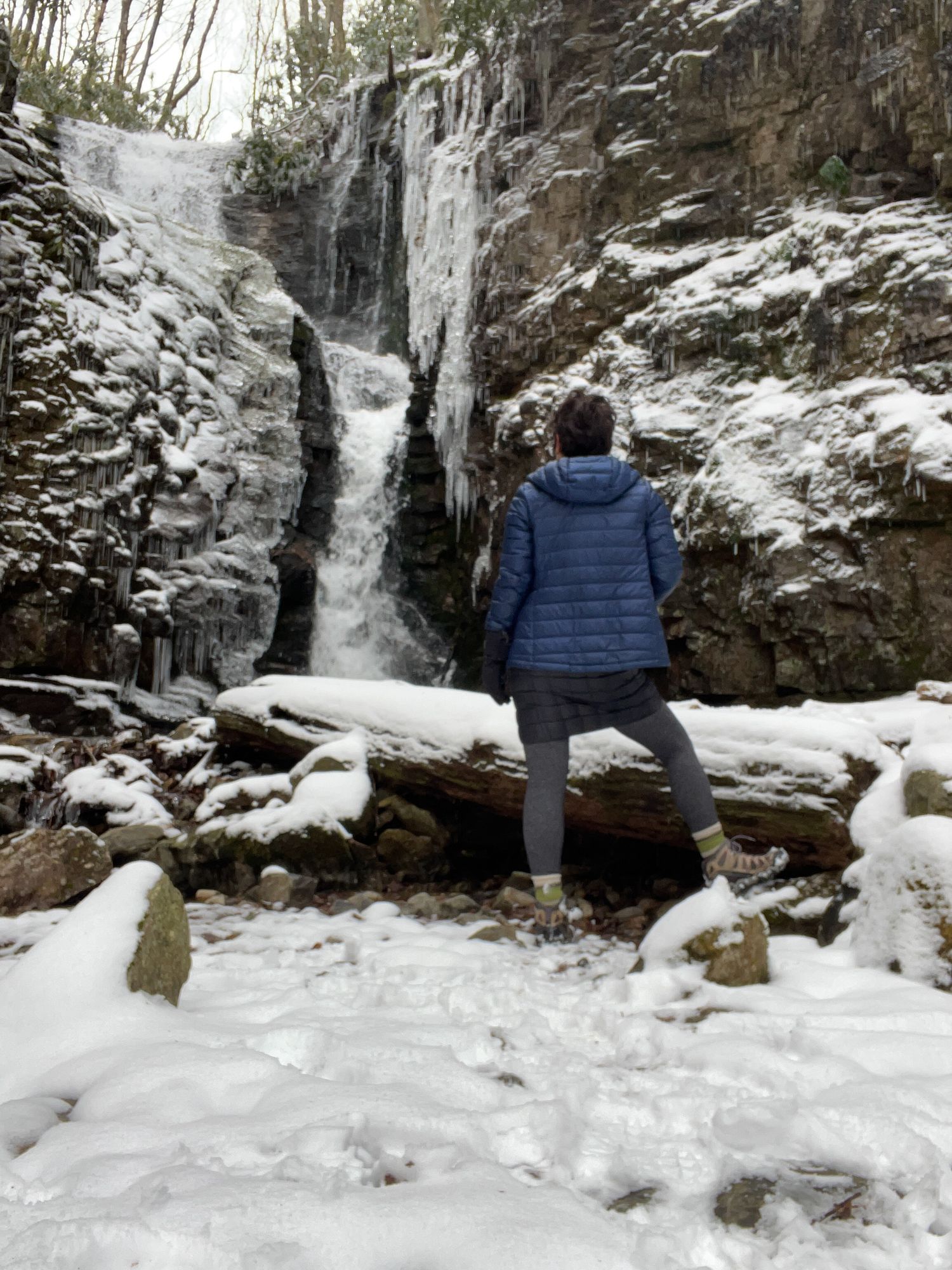
Cross into eastern Tennessee, and you'll find Rock Creek Falls, a moderate 4.3-mile round trip that ends at a gorgeous 50-foot waterfall. What makes this trail particularly excellent for winter is its lower elevation and moderate grade—it's accessible even when higher trails are iced over or snow-covered. The path follows Rock Creek through a hemlock forest, and the sound of moving water accompanies you the entire way. Note that a day use/parking fee applies, so bring a few dollars and pay at the lot.
In winter, Rock Creek Falls often develops ice formations around its edges while the center continues to flow, creating a stunning contrast between frozen stillness and liquid motion. The trail can be muddy after rain, but the well-maintained path makes it manageable in most winter conditions. It's a perfect option for days when you want to be outside, but conditions elsewhere are challenging.
Cat Gap to John Rock Loop
This 5.8-mile loop in Pisgah National Forest offers one of the most dramatic viewpoints in the region from the top of John Rock—a massive granite outcropping with expansive views across Looking Glass Rock and the Davidson River Valley. The trail blends forest walking with a few pretty waterfalls and a final scramble across open rock, and while that exposed section requires careful footing in winter, the views make it absolutely worth the effort.
I recommend hiking this trail on clear winter days when the granite won't be slick with ice. The bare trees throughout the forest section mean you'll catch glimpses of surrounding peaks including that would be completely hidden in warmer months. The John Rock overlook itself becomes even more spectacular in winter when you can see the full architecture of the surrounding mountains, as well as a spectacular view of Looking Glass Rock, without summer's green haze softening the ridgelines.
Shortoff Mountain
Located at the south end of the Linville Gorge Wilderness area, Shortoff Mountain offers one of the most stunning ridge walks in North Carolina. This 4.6-mile out-and-back follows the rim of Linville Gorge with continuous views across the deepest gorge in the eastern United States. Winter is actually ideal for this hike—the exposed ridge that can be swelteringly hot in summer becomes perfectly comfortable, and the views extend even further through clear, cold air.
The trail does have some exposure, so I'd avoid it during ice storms, but on stable winter days, it's magnificent. You'll walk along clifftops with nothing between you and the gorge below, looking across at Hawksbill and Table Rock. This section also follows the Mountains-to-Sea Trail, another of North Carolina's signature long-distance paths, connecting you to a hiking tradition that spans from the Great Smokies to the Outer Banks.
Laurel Falls Trail (Tennessee)
Just across the Tennessee border in the Cherokee National Forest, Laurel Falls rewards a moderate 4.8-mile hike with a stunning 80-foot waterfall. The trail follows Laurel Fork Creek upstream through a beautiful gorge, crossing the water several times on footbridges before reaching the falls. In winter, Laurel Falls creates intricate ice formations, and the bare trees allow you to see the full height and power of the waterfall from various vantage points along the approach.
This trail can be slippery in winter—the stream crossings and areas near the falls are prone to ice—so traction devices are helpful. But the relatively modest elevation gain and spectacular payoff make it worth careful navigation. The combination of flowing water, ice formations, and bare forest creates a stark beauty that's quintessentially Appalachian winter.
Max Patch
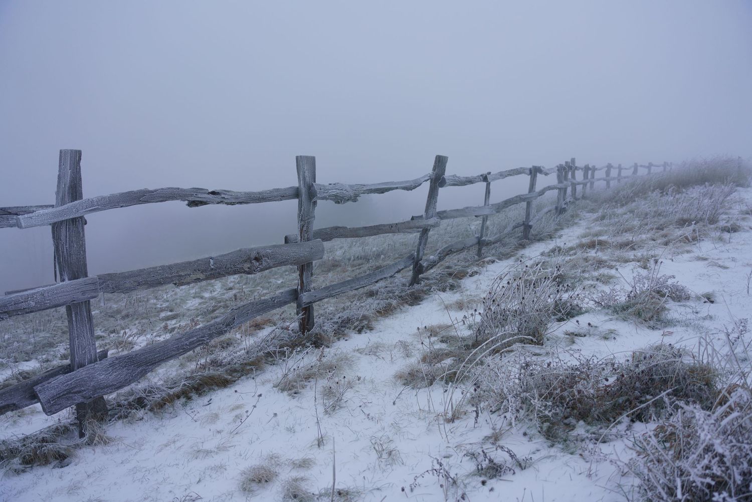
Another gem along the Appalachian Trail, Max Patch is a 4,629-foot grassy bald with 360-degree views that some consider the finest in North Carolina. The hike itself is short—less than 2 miles total—but the open summit rewards you with views of the Great Smoky Mountains to the south, the Black Mountains to the east, and endless peaks in every direction. Winter transforms Max Patch into something almost alpine when snow covers the grass, creating a rolling white expanse against blue sky.
The exposed nature of Max Patch means that the weather can change quickly, but on stable winter days, this is an incomparable experience. You'll share the summit with section hikers on the AT, many of whom consider this one of the trail's highlights. The accessibility and relatively easy approach make this a perfect winter destination when you want big views without technical challenges.
Carvers Gap to Grassy Ridge Bald
The Roan Highlands near the Tennessee-North Carolina border offer some of the most distinctive hiking in the southern Appalachians, and the trail from Carvers Gap to Grassy Ridge showcases why. This 5.1-mile round trip follows another section of the Appalachian Trail across grassy balds at high elevation—above 6,000 feet—with continuous 360-degree views. In summer, these balds explode with rhododendron and flame azalea. In winter, they become wind-swept, open expanses where you can see weather systems moving across the mountains.
This trail requires the most caution on this list because of its elevation and exposure. High winds and rapid weather changes are common, and the open landscape offers no protection. But on clear, calm winter days, this hike is transcendent. You'll walk across mountain tops with nothing but sky and views in every direction, connected to the Appalachian Trail's path from Georgia to Maine. Fortunately, the views begin less than a mile in (as you ascend Jane Bald), so if the weather turns or the trail proves too slick, you’ll still get a glimpse of the magic of Roan Highlands.
Essential Winter Hiking Gear
Winter hiking in the North Carolina mountains requires preparation. Ice spikes or microspikes are essential—even trails that seem clear can have icy patches in shaded areas, near water, or on north-facing slopes. I carry mine in my pack on every winter hike and put them on whenever the trail shows signs of ice. They transform treacherous conditions into manageable ones.
Hiking poles provide stability on slippery terrain and help you test the ground ahead, particularly on stream crossings or when snow conceals the trail surface. They're also useful for balance on exposed sections like John Rock or Shortoff Mountain.
Layer clothing carefully. Neck gaiters offer versatile protection from wind and cold without the bulk of a scarf. Hand warmers can be lifesavers on especially cold days, particularly if you stop for lunch at a summit where wind strips away heat quickly. Insulated water bottles prevent your water from freezing.
Always check weather forecasts before heading out, and be honest about changing plans if conditions deteriorate. Winter in these mountains can shift from beautiful to hazardous quickly. Start early so you have plenty of daylight—winter days are short, and you don't want to be navigating tricky terrain in fading light.
The Winter Hiking Advantage
What I've learned from years of winter hiking around Asheville is that the season offers gifts that warmer months can't match. The solitude is profound—trails that require arriving at dawn to find parking in summer might have yours as the only car in the lot. The views extend farther through bare branches and clear, cold air. The landscape reveals its bones, showing you the underlying structure that summer foliage conceals.
These eight hikes represent the region's diversity: AT sections that connect you to long-distance hiking tradition, waterfalls that develop winter ice formations, exposed summits that reveal 360-degree mountain views, and forest trails that demonstrate winter's stark beauty. Each requires respect for changing conditions, but each rewards careful planning with experiences that summer hikers never see.
Asheville's position at the crossroads of multiple mountain ranges means winter doesn't limit your options—it simply redirects you to trails that shine when temperatures drop. These eight trails have consistently delivered my most memorable mountain moments when the calendar says to stay inside. They might deliver yours, too.