Everyone waits for one weekend in October. They pick it in August, book a cabin, drive to an overlook that six thousand other people picked the same way, and hope the timing holds. Some years it does.
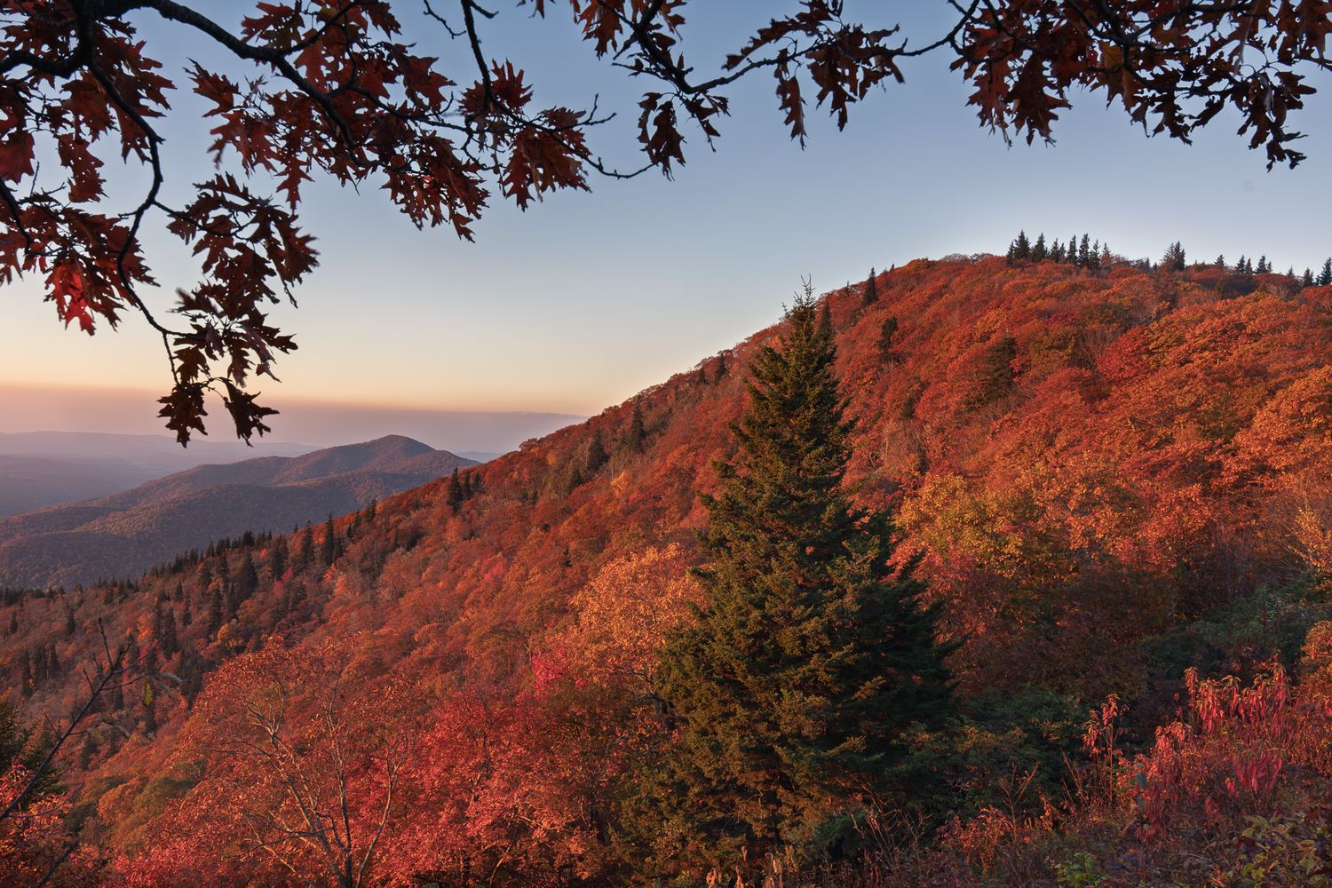
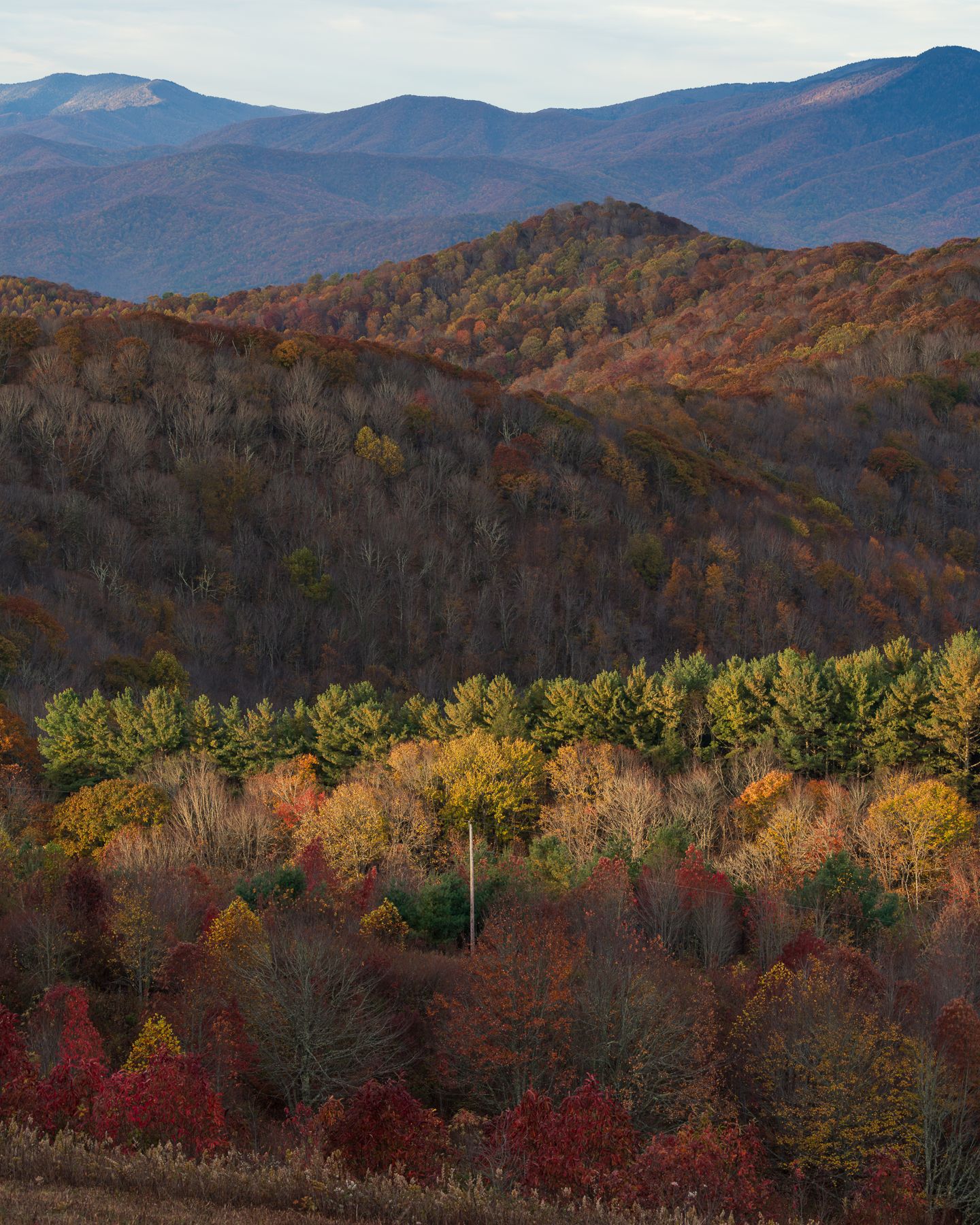
Color here does not work like a weekend. It works like a slow tide, running north to south across four states and down the mountain from the spruce line to the river bottoms, and the whole thing takes about six weeks. Once you see it that way you stop chasing a date and start following a gradient, which is a much better way to spend October with a camera.
I live in Asheville and I shoot this season across North Carolina, east Tennessee, upstate South Carolina, and north Georgia. What follows is where I go, roughly in the order the color gets there, with what each place gives a photographer and what it costs to park.
How the Color Actually Moves
Most foliage maps give you a single peak week for a whole state, which is close to useless if you are trying to be somewhere specific with good light.
Two things are happening. Elevation is the one people know: every thousand feet you climb runs roughly a week ahead of the valley below it. Latitude is the one people miss. In my own experience, the color also walks south. The high ground around Boone and the northeast Tennessee line goes before the equivalent elevation in north Georgia, and by the time the Georgia mountains are worth the drive, the North Carolina high country is bare.
Put the two together, and you get an itinerary instead of a gamble. Start the last week of September in the high north country. Work south and downhill through October. Finish in the first days of November on a river in Rabun County, Georgia, where the color arrives last, and the crowds never do.
The other thing worth planning around is water, and that gets its own section below.
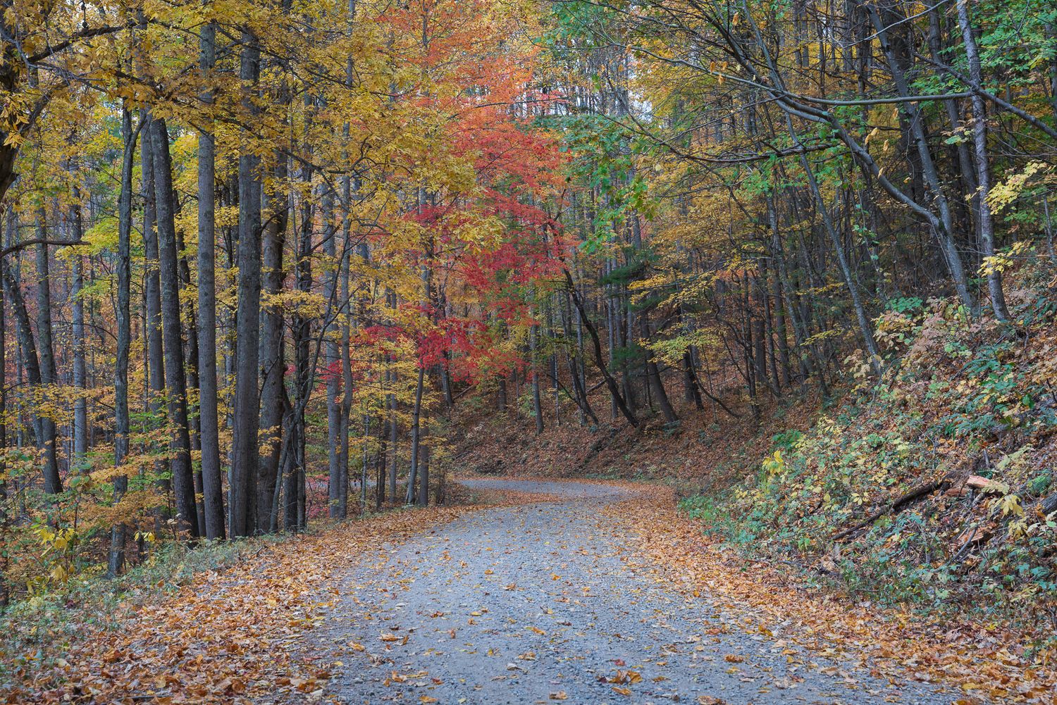
North Carolina
The highest ground in the region, and the earliest.
Mount Mitchell (6,684 feet). The highest point east of the Mississippi, and the summit itself is spruce and fir, so the color is not up here with you. It is below you. That is the whole compositional idea: aim down and out across ridgelines running to the horizon, with the evergreen summit as a dark anchor in the foreground. Fall mornings produce cloud inversions often enough to plan around. Turns late September into the first days of October. Free, off the Blue Ridge Parkway at Milepost 355 via NC 128. The access road closes whenever the Parkway does, which in fall usually means ice or fog, so check before you commit to a dark drive.
Grandfather Mountain (Calloway Peak 5,946 feet). This one needs breaking apart, because "Grandfather" means three different places with three different prices.
Rough Ridge, Parkway Milepost 302.8, is where the photograph you are picturing actually comes from. A third of a mile of rocky trail puts you on a boardwalk looking back at the Linn Cove Viaduct curving around the mountain with color underneath it. Reach for a telephoto and compress the viaduct against the ridge rather than shooting it wide. The lot holds ten to fifteen cars and fills by 9:30 on an October weekend, so this is a sunrise proposition or nothing. Free.
Linn Cove Viaduct Visitor Center, Milepost 304.4, gives you the underside of the bridge from a short paved path. Different photograph, worth ten minutes, free.
Beacon Heights, Milepost 305.2, is a short walk to open rock with long views and a fraction of the Rough Ridge traffic. Worth having as the fallback when that lot is full.
Grandfather Mountain proper, the private attraction with the Mile High Swinging Bridge at Linville Peak, runs $24 for adults with a timed online reservation and limited walk-up availability on weekdays. The bridge is a subject rather than a vantage. If you want the summit ridge on foot instead, Grandfather Mountain State Park is free and the Profile Trail is the way in.
Peaks around the second week of October at elevation, later on the flanks.
Graveyard Fields (about 5,120 feet). Parkway Milepost 418.8. A high valley of blueberry and shrub rather than hardwood, which means it turns early and turns a deep red across the whole bowl at once. Two waterfalls on the loop. It is one of the most heavily used pullouts on the Parkway in October, so treat it as a weekday sunrise and leave the weekends to everyone else. Free. Late September into early October.
Hawksbill Mountain (4,020 feet). Linville Gorge. A short, steep climb to a summit with the gorge falling away below and Table Rock across the way. This is a sunrise location: the gorge holds fog, the light comes up the length of it, and the color reads best in that first half hour. Free, but the forest roads in are rough and the trailhead parking is small.
Rich Mountain Fire Tower (3,643 feet). Above Hot Springs. The tower gives you a full circle from a spot most people driving through Madison County never think about. Sunset here, with the French Broad valley below filling with haze. Free. Mid October.
Elk River Falls (roughly 2,900 feet). Near Elk Park. A wide, powerful drop into a big pool with easy access from the lot, which makes it a rare thing: a waterfall you can shoot without a two-hour approach. Needs water. See below. Free. Mid to late October.
Cataloochee Valley (about 2,600 feet). The North Carolina side of Great Smoky Mountains National Park, reached by a long gravel road over Cove Creek. Open meadows ringed by hardwood, historic buildings, and elk. October is the rut, which means bulls in the fields at dawn and dusk and a lot of noise across the valley. Morning fog sits in the meadows and burns off slowly. A parking tag is required for stops over fifteen minutes, at $5 daily, $15 weekly, or $40 annual. Mid to late October.
Laurel River Trail (roughly 1,400 feet). Also near Hot Springs, following Big Laurel Creek down to the French Broad on an old railroad grade. Low, flat, and shaded, which puts it near the end of the season and makes it a good overcast day. Water and color in the same frame without any climbing. Free. Late October into early November.
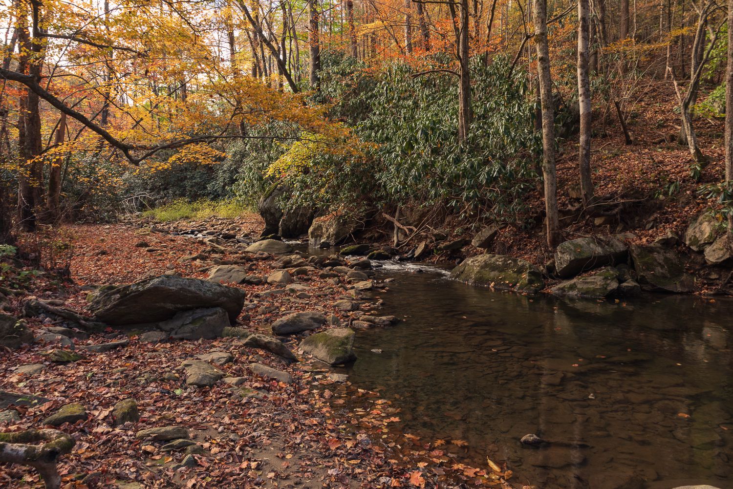
Tennessee
Margarette Falls (trailhead around 2,000 feet). Greene County, in the Cherokee National Forest, reached by a gravel forest road. A tall, narrow drop at the head of a hollow, with a creek walk in that is half the reason to go. This one is entirely dependent on recent rain. Free. Mid to late October.
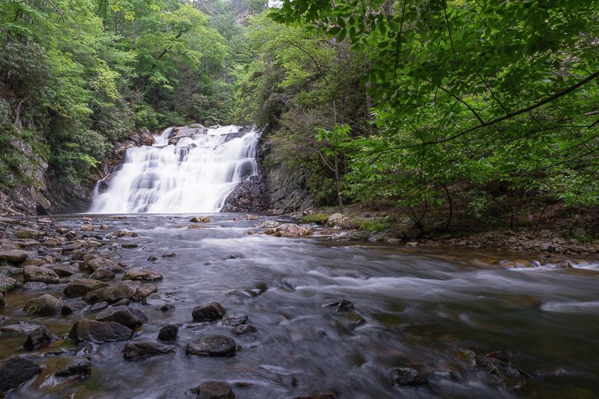
Laurel Falls, Pond Mountain Wilderness (roughly 2,000 feet). Off Dennis Cove Road near Hampton, on the Appalachian Trail. Laurel Fork Gorge is a steep, rocky, water-carved slot, and the falls at the bottom of it carry real volume even in a dry season, which sets it apart from most of the entries here. The gorge walls are close, so this is a wide-lens location. Free. Mid to late October.
South Carolina
Raven Cliff Falls, Caesars Head State Park (overlook near 3,200 feet). A four-mile round trip to an overlook facing a 420-foot falls across the valley. The viewing distance is the thing to plan for: this is a telephoto photograph of a waterfall inside a wall of color, not an intimate one. The longer loop reaches a suspension bridge above the falls if you want the closer version. Trail access is $3 for adults, $1.50 for seniors, $1 for ages 6 to 15. The trailhead lot is a mile north of the visitor center on US 276 and fills fast on weekends. Late October.
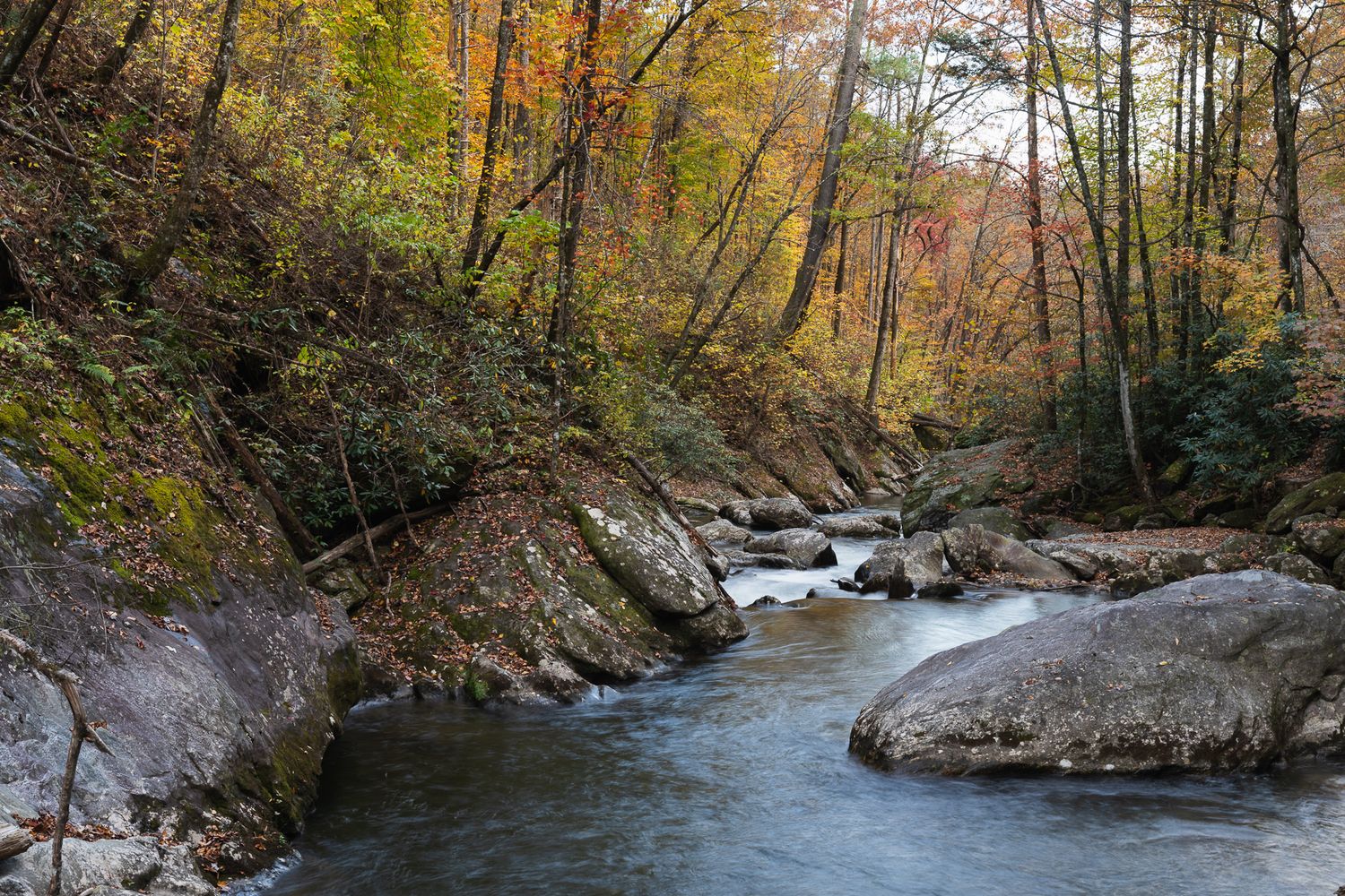
North Georgia
Last to turn, least crowded, and the reason to keep shooting after North Carolina has gone brown.
Brasstown Bald (4,784 feet). The highest point in Georgia, with a tower that sees into four states on a clear day. A steep six-tenths of a mile of paved path from the lot, or a shuttle. $8 per person 16 and over, which includes the shuttle, and interagency passes are accepted. Mid October.
Rabun Bald (4,696 feet). Georgia's second highest, with a stone observation deck at the top and a fraction of Brasstown's traffic. The trade is that you walk for it. Free. Mid October.
Blood Mountain (4,458 feet). The highest point on the Georgia section of the Appalachian Trail. Up from the Byron Herbert Reece trailhead near Neel Gap, with big open views west from the rock around the old stone shelter. Sunset location. Mid to late October.
Bell Mountain (3,424 feet). Above Hiawassee, and one of the few summits here you can drive to the top of. The rocks are covered in decades of spray paint, which you can treat as a problem or as the subject. Below you is Lake Chatuge with the ridges behind it. Sunset, and it is the best fast option in the area when the light turns unexpectedly good. Free. Late October.
Preachers Rock (about 3,400 feet). A mile north on the Appalachian Trail from Woody Gap. A broad open slab facing out over the ridges, which makes it work at both ends of the day and makes it a genuinely good place to simply sit for an hour. Free. Mid to late October.
Vogel State Park and Lake Trahlyta (about 2,200 feet). A small lake at the foot of Blood Mountain that goes still early in the morning and hands you a clean reflection of the ridge above it. Trahlyta Falls is a short walk from the lot. Georgia ParkPass parking, $5 daily. Late October.
Lake Chatuge (about 1,928 feet). A big lake straddling the Georgia and North Carolina line at Hiawassee. Long sightlines, ridges stacking behind the water, and the kind of open sky that rewards being there for the twenty minutes after sunset rather than at it. Late October into early November.
The road to Tate City (roughly 2,000 feet). The Tallulah River road running northwest out of Clayton toward the North Carolina line. Not a destination so much as a slow drive along a river through a corridor that turns late. Pull over often. This is the entry on the list most likely to hand you something you did not plan. Free. Late October into November.
Seed Lake (roughly 1,680 feet). Small, quiet, and low, on the Tallulah chain. Still water and close-in color rather than long views. The last thing on this list to turn, and often still worth a morning in the first week of November. Free.
Water and Color, and Why the Timing Rarely Cooperates
Half the locations above are waterfalls, and every one of them depends on something the season does not reliably provide.
Autumn here runs dry. The wettest months are behind us by October, and a waterfall photographed in a three-week drought is a wet rock with a trickle down it, and no amount of shutter speed fixes that.
Margarette Falls, Elk River Falls, Trahlyta, and Raven Cliff will be all the better after a good rainfall.
So watch the rain, not the foliage map. What you are hoping for is a good soaking followed by two or three days, long enough for the creeks to come up and the worst of the mud to settle, and ideally an overcast morning after. Overcast is the right light for moving water anyway: it takes the blown highlights off the whitewater and it saturates the color instead of bleaching it. A bright blue October Saturday is the worst waterfall light of the year and the most crowded.
Water and fall color in the same frame is a combination I never get tired of, and it is worth rearranging a week to get. Find more of my favorite waterfall hikes near Asheville, right here.
Go Down the Forest Roads
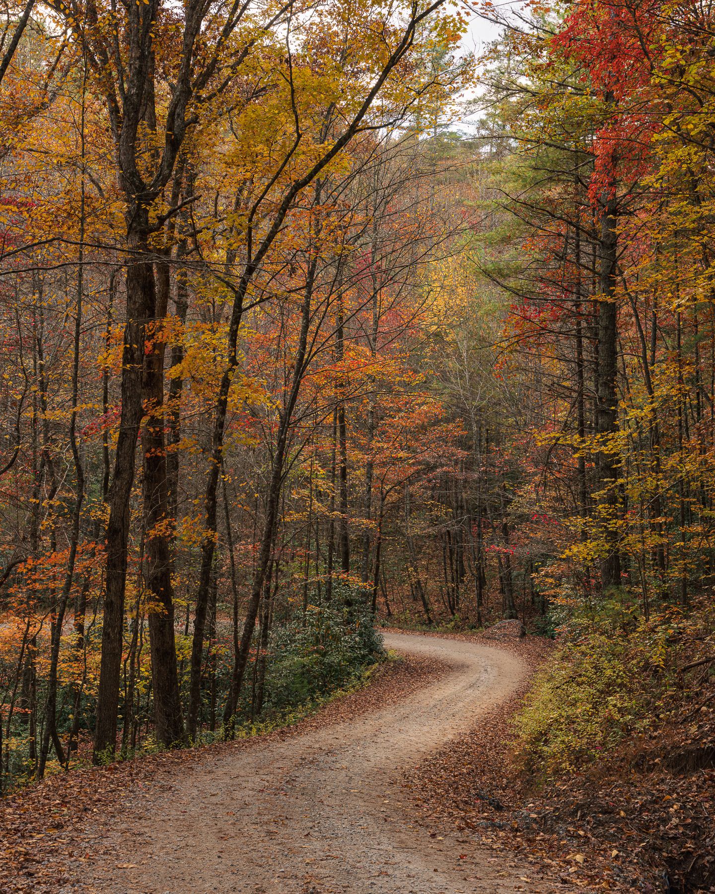
Everything above is a named place with a lot and a trail sign. Some of my favorite compositions from this season did not come from any of them. They came from turning down a forest road in one of the national forests around here without much of a plan, and stopping when something worked. It's also a great way to escape the crowds on the Parkway and at the more popular destinations in the region.
Pisgah, Nantahala, Cherokee, and Chattahoochee are threaded with gravel roads that go somewhere reasonable and gravel roads that do not, and the difference is not always obvious from the map. That is most of the appeal. The color along a creek on an unnamed forest road is the same color that is on the overlook, yet you're beneath rather than above it, and you will have it to yourself.
It has also led to some adventures, which is a polite word for a few situations I would rather not repeat. Carry more fuel than you think you need, know that cell service disappears completely, and know that a road passable in September can be washed out by late October. Tell someone where you went.
Almost every destination on this list has an unremarkable-looking forest road within twenty minutes of it. Those are worth your time.
Frequently Asked Questions
Q: When is peak fall color in the Southern Appalachians? A: There is no single peak. Color starts above 5,000 feet in the North Carolina high country and northeast Tennessee in the last week of September, moves through the 3,000 to 4,500 foot range during the second and third weeks of October, and reaches the valleys and north Georgia in late October and early November. If you are willing to move, you can find peak conditions somewhere in the region for about six weeks.
Q: Where should I photograph fall color if I want to avoid crowds? A: Go south and go later. North Georgia peaks two to three weeks after the North Carolina high country and sees a fraction of the traffic. Rabun Bald, Preachers Rock, Seed Lake, and the Tallulah River road toward Tate City are all quiet even in season. Anywhere on the Blue Ridge Parkway on an October weekend is the opposite of this.
Q: Do I need a permit or pay a fee to photograph these locations? A: Most are free. Great Smoky Mountains National Park requires a parking tag for stops over fifteen minutes at $5 daily. Brasstown Bald is $8 per person. Grandfather Mountain, the private attraction, is $24 with a timed reservation. Caesars Head State Park charges $3 for trail access. Georgia state parks including Vogel charge $5 for parking. The Blue Ridge Parkway itself is free. Commercial shoots have separate permitting requirements at most of these, so ask if the work is paid.
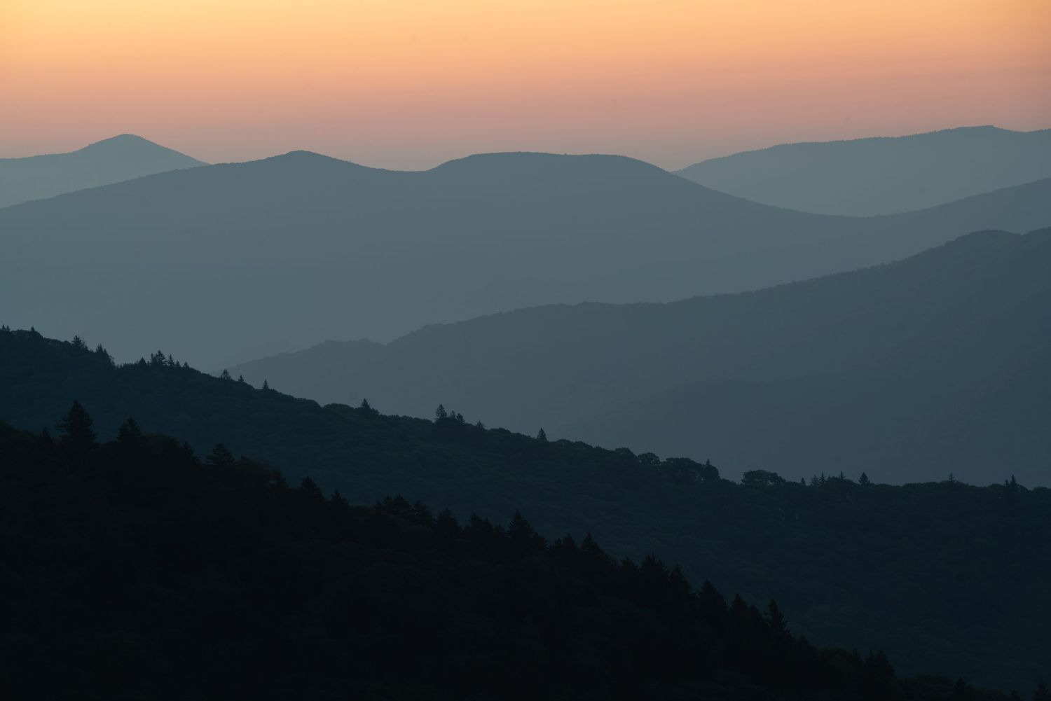
Q: What is the best time of day to photograph fall foliage? A: Early morning, for two reasons that have nothing to do with light quality. Valley fog is a fall morning phenomenon and it separates the ridgelines into layers you cannot get any other way. And the parking lots at Rough Ridge, Graveyard Fields, and Raven Cliff are empty at dawn and full by mid-morning. For waterfalls, an overcast day at any hour beats a clear one.
The Season Is Longer Than You Think
The single change that improved my Octobers was giving up on choosing the right weekend. Start high and north in the last days of September, work south and downhill through the month, watch the rain more closely than the foliage map, and take the gravel road when you see one. Six weeks of good conditions are available to anyone willing to drive toward them.
Prints from many of these locations are in the shop, and I am booking commercial and property work through the fall season across western North Carolina, north Georgia, upstate South Carolina, and east Tennessee.