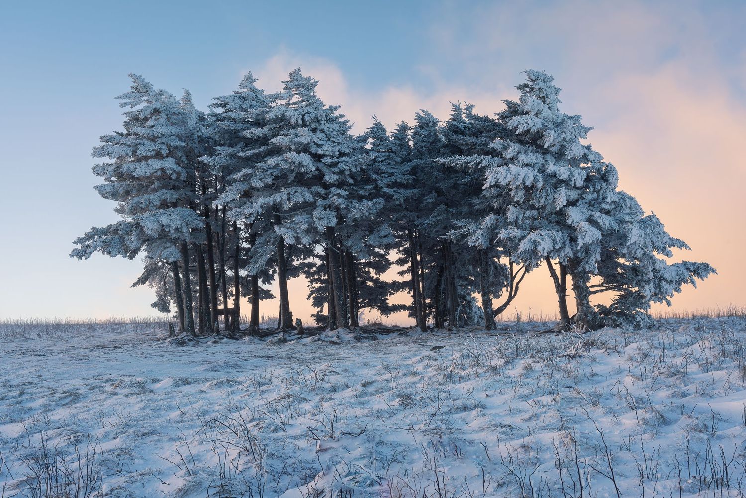
For some reason, Norway kept calling me back. I said as much, more or less in those words, to a fellow resident at Arctic Coliving this summer. It was my second trip to Norway in a single year, and I was trying to explain why a place so far from home felt so familiar. He was German and a stranger until that week, and he answered with geology. The mountains outside the window and the mountains outside my door in Western North Carolina, he told me, used to be the same range.
I got chills. It made sense before I understood a word of the science. I had already been planning toward Svalbard and Greenland, and in one conversation the whole of Vanishing Winters, the project I had been building for three winters without quite naming what held it together, found its thread.
So this piece is the answer to the question I asked him, "Why do the Appalachians and Norway look so similar?" It is also the story of how one broken mountain range became three winters of photographs, and an exhibition in Asheville this December.
Why Do the Appalachians and Norway Look So Similar?
The short answer is shared bones. Before there was an Atlantic, there was an older ocean called Lapetus between the landmasses that would become North America and northern Europe. Over tens of millions of years, that ocean closed, and the continents on either side collided. The crust between them folded and stacked into a long chain of mountains.
Later, Africa pushed in from the south and finished the job. By about 270 million years ago, one mountain belt ran unbroken through the middle of Pangea. It reached from what is now Alabama through the Appalachians, across Newfoundland, into Ireland, Scotland, and Scandinavia, and up into East Greenland and Svalbard. At its height, some believe, it may have stood as tall as the Himalayas do now.
Then the supercontinent began to tear. Starting around 200 million years ago, the Atlantic opened down the middle of the old chain. The Appalachians stayed with North America. The Caledonides went with Europe and Greenland. Every one of those pieces has been weathering ever since.
That shared history explains what the eye picks up. Both ranges are built from the same family of old, hard, much-folded rock. Both have been worn down for hundreds of millions of years into long ridges and rounded summits. You can stand on a ridge above the Blue Ridge Parkway and a ridge above a Norwegian fjord and feel the resemblance before you can explain it.
Where the resemblance ends
The difference is ice. During the last ice age, glaciers buried Norway and carved its valleys into fjords, sheer walls, and sharpened peaks. The ice sheets never reached the Southern Appalachians. They stopped hundreds of miles north. That is why our mountains stayed softer in outline, and it is why the cold-loving red spruce and Fraser fir forest that followed the ice south is still on our highest summits, stranded there when it retreated.
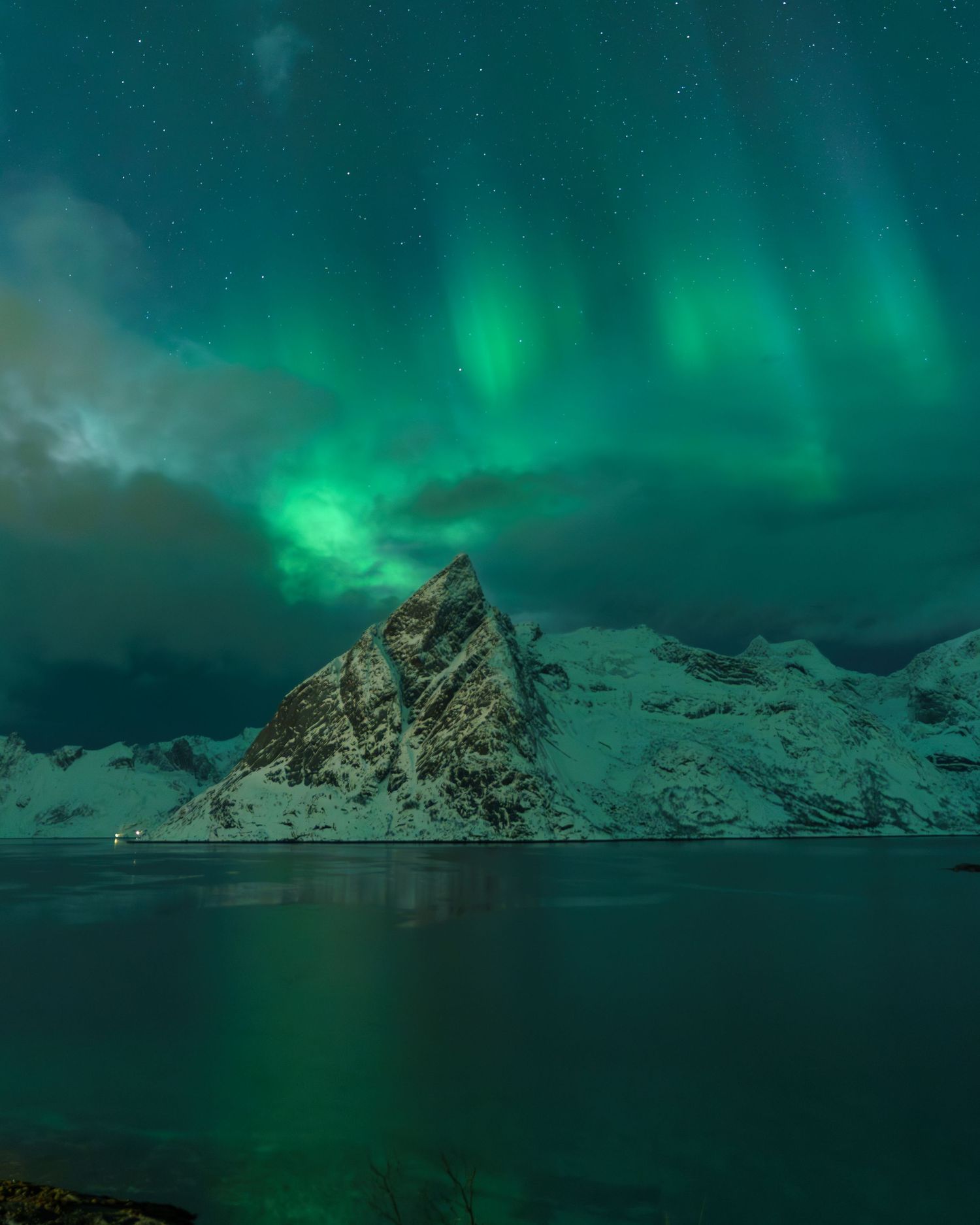
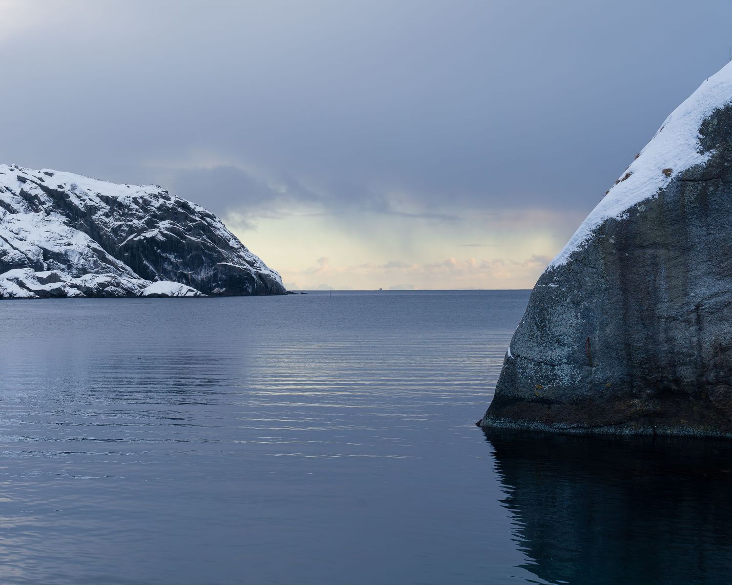
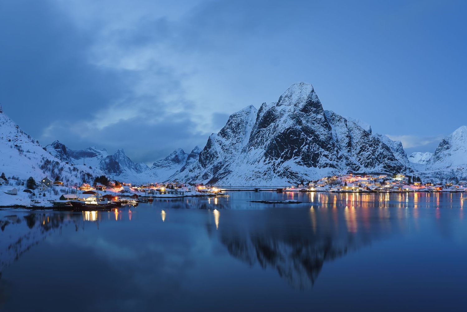
Lofoten, where I spent eight days this February, is its own chapter. Its jagged peaks are carved from bedrock older than the collision itself, exposed along the edge of the Caledonian range and then sharpened by glaciers. I am a photographer, and I will not pretend to more authority than that. What I can say is that rock has always pulled at me for its patterns, shapes, colors, and textures, and that knowing its history made me look at it differently.
Where Iceland Fits: The Island the Split Made
Iceland is the exception, and the most interesting part of the story. It was never part of the ancient range. Iceland sits on the Mid-Atlantic Ridge, the seam where the Atlantic is still opening today, over a hotspot that has pushed volcanic rock up from the ocean floor. Its oldest rocks are around 16 million years old. Next to the Appalachians and the Caledonides, it is geologically brand new.
So the three places in Vanishing Winters are two halves of one broken range, plus the island the break created. The same rift that separated my home mountains from Norway's raised the black basalt I photographed in Iceland.
Three Winters, One Warming Thread
Hundreds of millions of years after the split, the three regions share something newer. They are warming together, and winter is where it shows first. Every figure below is a measurement of what has already happened.
- The Southern Appalachians. North Carolina's winters averaged 43.0°F from 2001 to 2023, 1.8°F warmer than the twentieth-century average. Six of the eleven warmest winters on record have come since 2011. Above roughly 5,000 feet, Fraser fir grows nowhere else on Earth, and a cold-dependent forest at the top of a mountain has nowhere higher to go. (NC State Climate Office; US Fish and Wildlife Service)
- Iceland. Glaciers cover about a tenth of the island, which loses roughly 11 billion tonnes of ice a year. The share of precipitation falling as snow dropped from about 54 percent in 1970 to 1995 to 47 percent in 2000 to 2025. In 2019, Iceland placed a bronze plaque where the Okjökull glacier had been, the first memorial to a glacier lost to climate change. (University of Iceland and Rice University; Hydrology and Earth System Sciences, 2026)
- The Lofoten Islands. Each winter the Northeast Arctic cod called skrei, from the Old Norse for "the wanderer," swim down from the Barents Sea to spawn along the Lofoten coast, as they have since at least medieval times. The Barents Sea has run warmer than its long-term average since the mid-2000s, and a growing share of the catch now comes from farther north. (Institute of Marine Research)
In all three places, winter is warming faster than summer, and rain is replacing snow.
What Each Place Gave the Project
Iceland, February 2024
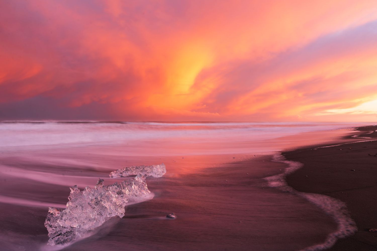
I went to Iceland expecting deep winter and barely saw it snow. A few flakes on a couple of days. Some ice, some of it partial. Wind, constantly, because the wind in Iceland seems to be everywhere at once. The icebergs calving onto Diamond Beach and a morning inside an ice cave are still two of the most memorable hours I have spent with a camera.
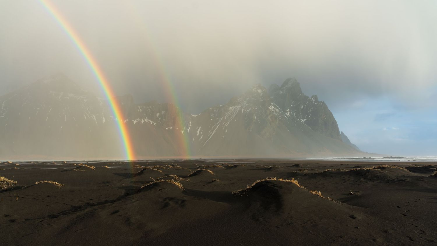
One of my favorite frames from that trip is not in the exhibition. It is a double rainbow in front of Vestrahorn, and it happened because it was misting and raining… in February. A few weeks after I got home, Western North Carolina handed me colder, more extreme weather than anything I had met in Iceland.
The Lofoten Islands, February 2026
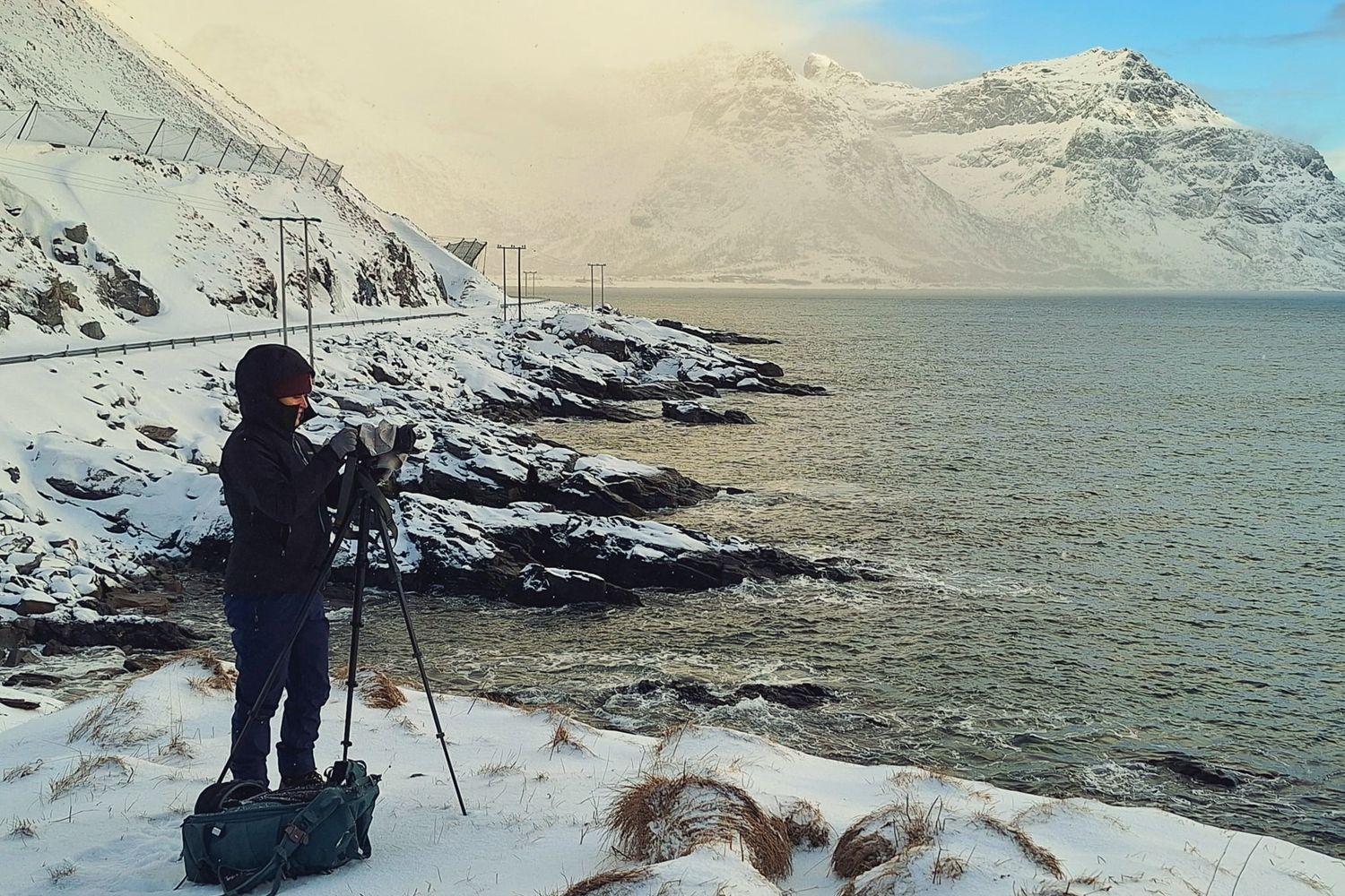
Lofoten gave me winter the way I had hoped to find it. On our wildest day it had snowed hard overnight, and a three- to four-foot drift blocked the road to Unstad Beach. We parked in town and walked to the coast through wind that was difficult to stand in. The chapel photograph in the exhibition came from that walk. Raw, beautiful, and exactly what winter should be at that latitude.
A week after I left, the cold turned to rain, and the snow was gone. I was fortunate to have eight days of real cold. It was a reminder that one moment in time no longer stands in for a season.
The Southern Appalachians, 2024 to 2026
This is the winter I know best, and I started chasing it in earnest in the early 2020s. Some of my coldest days outdoors have been right here in the mountains of Western North Carolina, colder than Lofoten and certainly colder than Iceland. For one sunrise at Carvers Gap on Roan Mountain, the thermometer read 4°F, the wind chill sat well below zero, and I had icicles on my eyelashes. The cold still comes. It comes in shorter, less predictable windows, and more of what used to fall as snow now falls as rain. The Appalachian photographs in the exhibition come from all three winters of the project.
Why the Appalachia Wall Hangs Last
The exhibition moves north to south: Iceland first, then Lofoten, then home. The Southern Appalachians close the room because they answer the introduction. Once you know where these ridges came from, the north doesn’t feel so far away.
Vanishing Winters: A Photographic Elegy is on view at Pink Dog Gallery, 348 Depot Street in Asheville's River Arts District, from December 5, 2026 through January 2, 2027. The opening reception is Saturday, December 5, from 5 to 7 PM. Admission is free, and fifty dollars from every print sold goes to Protect Our Winters.
Frequently Asked Questions
Q: Why does Norway look like the Appalachian Mountains? A: Norway's mountains and the Appalachians were once part of the same continuous range. It formed when ancient continents collided while assembling the supercontinent Pangea. The Atlantic Ocean split the range roughly 200 million years ago. Both halves are built from similar old, folded rock and have been eroding ever since, though glaciers carved Norway's peaks far more sharply.
Q: Are the Appalachians related to the Scottish Highlands? A: Yes. The Scottish Highlands, the mountains of Scandinavia, and parts of Ireland and East Greenland belong to the Caledonian mountain belt. It was continuous with the Appalachians before the Atlantic opened. The International Appalachian Trail follows that connection, extending the hiking route beyond Maine into Canada and across the Atlantic.
Q: Is Iceland part of the Appalachian mountain chain? A: No. Iceland is volcanic and far younger, with its oldest rocks dating to about 16 million years ago. It formed on the Mid-Atlantic Ridge, the same rift that separated the Appalachians from the mountains of Norway and Scotland.
Q: Where can I see the Vanishing Winters photographs? A: The series is on view at Pink Dog Gallery, 348 Depot Street, Asheville, North Carolina, from December 5, 2026 through January 2, 2027, with free admission. It includes photographs from Iceland, the Lofoten Islands, and the Southern Appalachians. The full series and print information are on the Vanishing Winters project page.
Close
I went to Norway twice in one year without being able to say why. The answer turned out to be under my feet the whole time, in rock that stood as one range long before there was an ocean to cross. Seeing Norway green in summer made it plain. Under February snow it was harder to see the likeness, partly because we rarely get that kind of winter at home anymore.
The next chapter goes farther north, to Svalbard in April 2027 and, if funding comes through, to Scoresby Sound in East Greenland in 2028. Both sit on the far end of the same broken range. If you would like to follow along, my monthly newsletter is the best way to stay in touch.
Hope to see you December 5th at Pink Dog Gallery.